
Cargando...
Encontrar
visualização
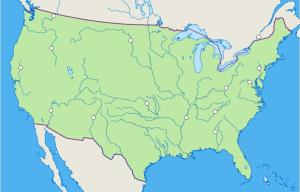
Mapa interactivo de Estados Unidos en el que se trata de identificar los principales ríos que recorren el país
Mapa interactivo de América del Norte en el que se trata de identificar sus principales lagos.
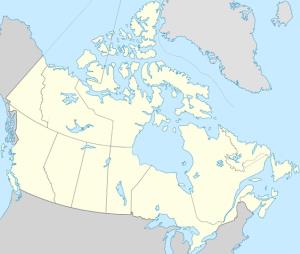
Try to locate on the map the given bodies of water of Canada.
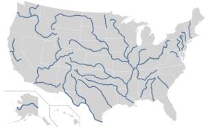
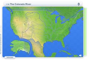
Try to figure out where each given river of United States is located on the map.
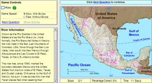
Would you know to locate Rivers you are asked about? You must point out each exact location on the map.
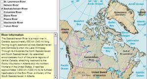
Learn the rivers of Canada by clicking on them.
Can you pick the places that are located in the United States of America?
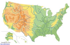
Guess where each given geophysical region of United States is located on the map.
Click on the correct river.
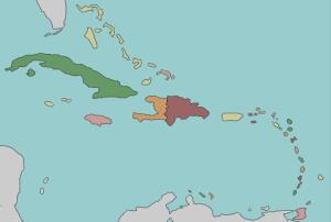
Try to locate on the map the given countries of the Caribbean.
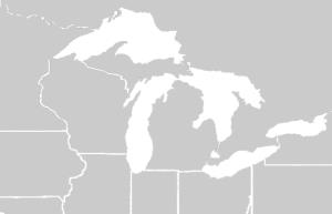
Can you name the Great Lakes? You only get 45 seconds to done it.
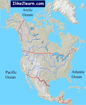
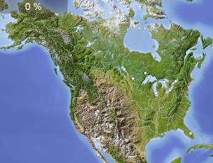
Learn the locations of the North American rivers with this free map quiz.
Adicionar ao Didactalia Arrastra el botón a la barra de marcadores del navegador y comparte tus contenidos preferidos. Más info...


